April 8, 2026

Explore Whitewater's Public GIS Map! 🌐🗺️🌿
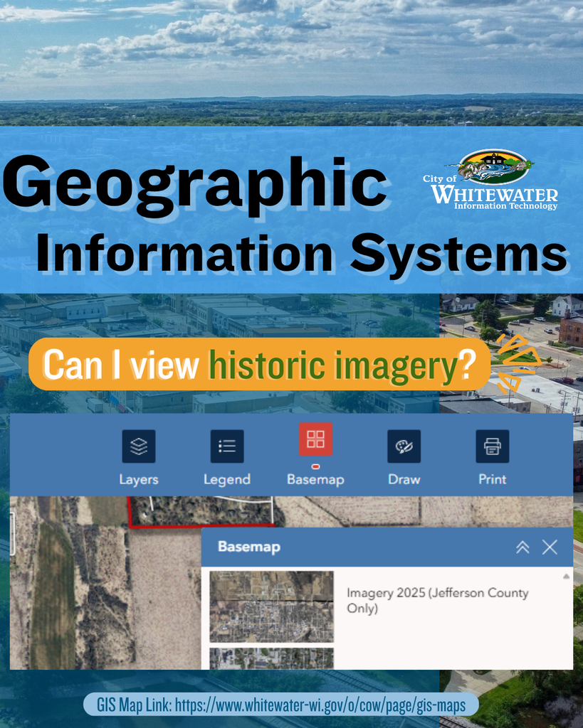
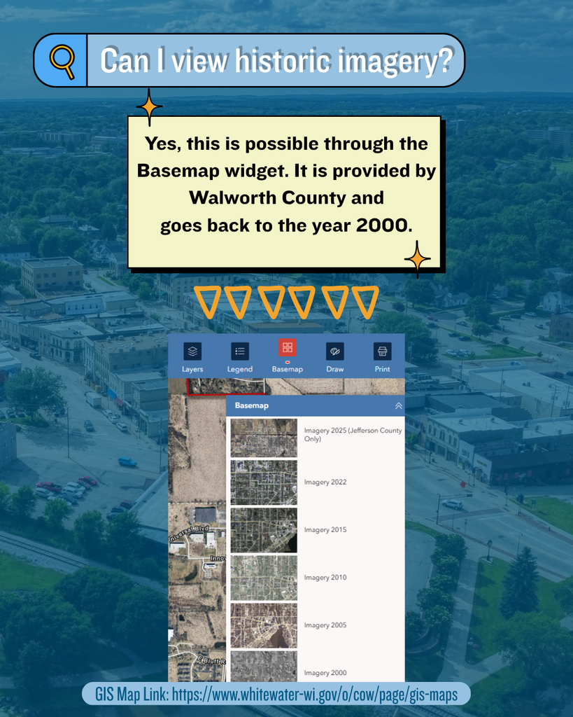
Through the Basemap widget on our GIS Map, you can view historic imagery, going all the way back to the year 2000.
Whether you're researching property changes, exploring neighborhood history, or just love seeing how the community has grown, this tool makes it easy to compare aerial imagery across multiple years.
🗺️ Here's how to access the historic imagery feature:
Open the GIS Map
Click on the Basemap tab
Select the aerial year you’d like to view
🔗Check out our NEW digital, interactive map on the GIS Map page City of Whitewater's Website.
#geography #themoreyouknow #econdev #whitewaterwi #cityofwhitewater