May 13, 2026

Explore Whitewater's Public GIS Map! 🌐🗺️💡
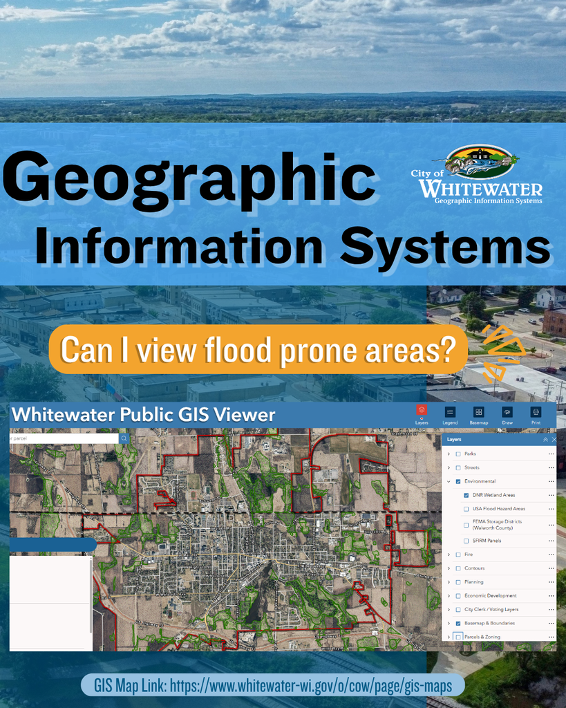
The City of Whitewater’s Geographic Information Systems (GIS) makes it easy to explore detailed, up‑to‑date flood prone areas right from your device.
Using the Whitewater Public GIS Viewer, you can access the Environmental tab, which includes multiple flood‑related map layers sourced directly from Walworth County, the Wisconsin DNR, and FEMA. These layers help you better understand local flood risks, plan projects, or simply learn more about the community.
🔗Check out our NEW digital, interactive map on the GIS Map page City of Whitewater's Website.
#geography #themoreyouknow #econdev #whitewaterwi #cityofwhitewater
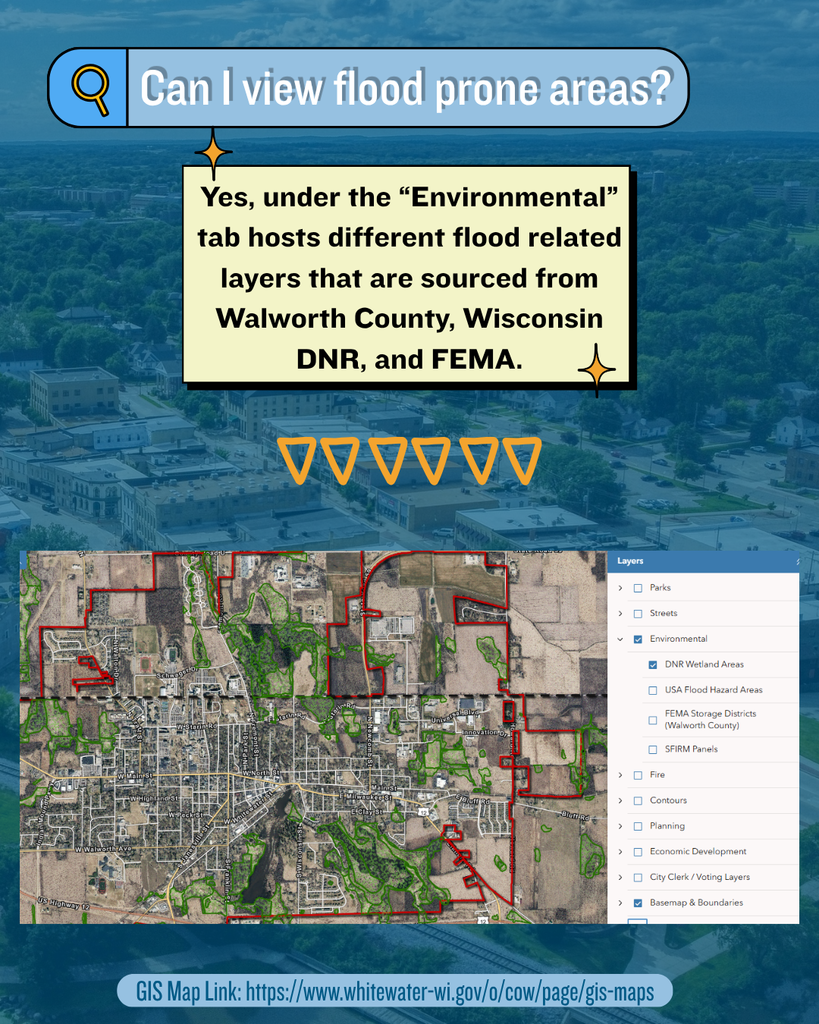